
How Renewable Energy Company Ørsted Scaled Using Irth Land Management
In renewable energy, managing land at scale is complex, especially if you’re still relying on spreadsheets. Overlapping...
Calculate, schedule, and track landowner payments with precision — from option agreements through full operations — without relying on spreadsheets.
Streamlines complex payment approval workflows to minimize risk and boost efficiency, even at high volumes.
Automates intricate calculations based on acreage, installed capacity, production output, or revenue.
Handles escalations seamlessly, including fixed, step-ups, and CPI-based increases.
Eliminates spreadsheet errors, enforces financial controls, and enables lean teams to scale without adding headcount.
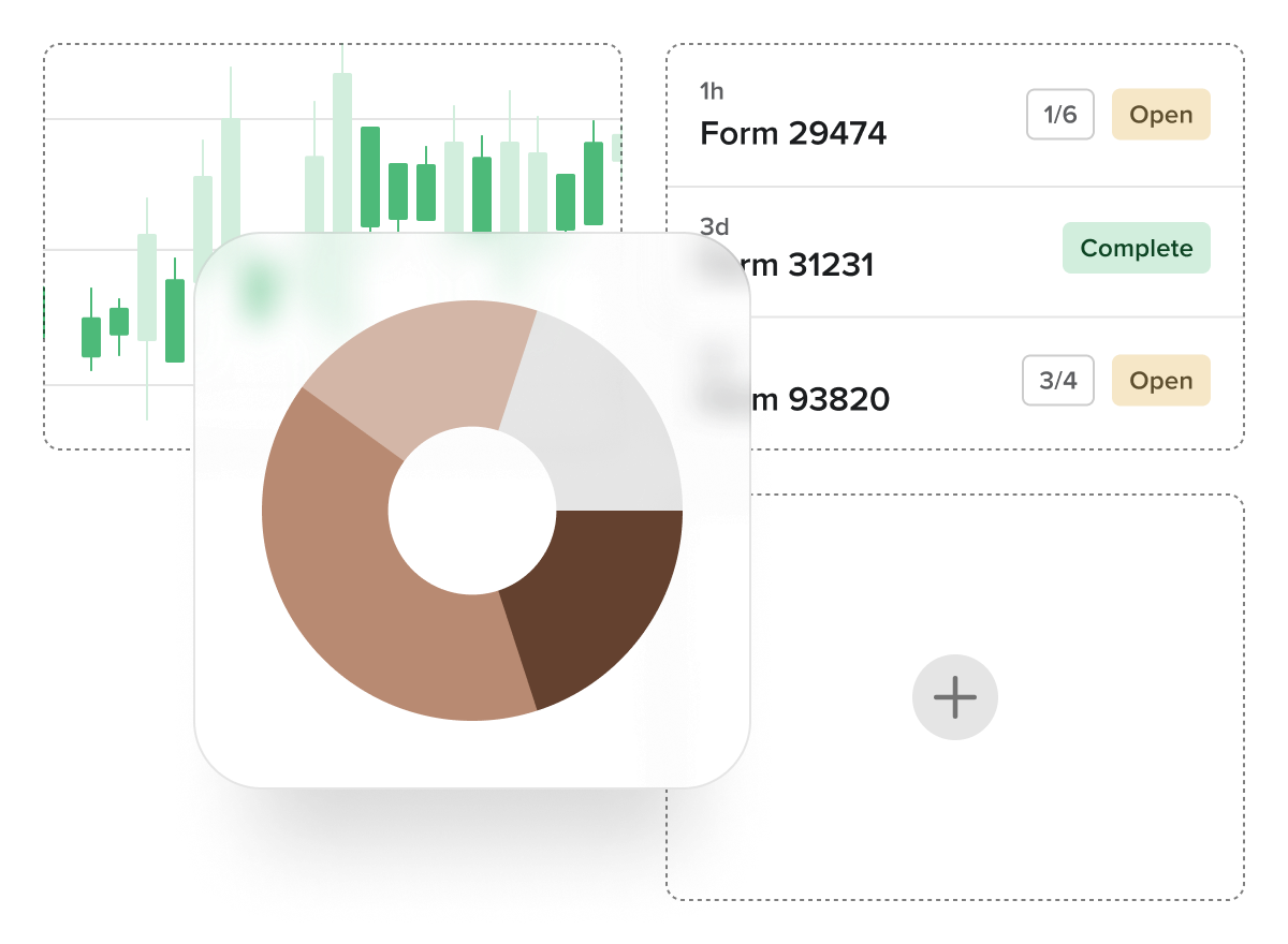
Gain powerful, real-time insights through robust reporting capabilities, seamlessly integrated with Power BI for customizable dashboards and advanced analytics.
Live data reporting — no delays, no stale exports — just always-current information.
Access a library of 50+ pre-built reports covering common land, agreement, and payment scenarios.
Build custom dashboards with Power BI and control user access with configurable permissions.
Enable role-based permissions and automate report delivery on your schedule.
Easily generate bulk documentation like landowner letters and payment statements to streamline communication.
Built-in KPI reports for measuring project, process, or personnel performance.
A powerful, Esri-based interface that brings spatial awareness to land, asset, and agreement data, designed to integrate seamlessly into your existing GIS ecosystem.
Connects with enterprise GIS systems for two-way data sharing — no duplication, no silos, no disconnects.
Supports standard geospatial formats, including KML, KMZ, and Shapefiles, for easy data exchange with external partners.
Enables both map-based and list-based data entry, accommodating disparate user preferences.
Role- or department-based map views ensure users see only relevant, real-time information.
Available as a fully embedded solution or a complement to your current GIS, adapting to your organizational needs.
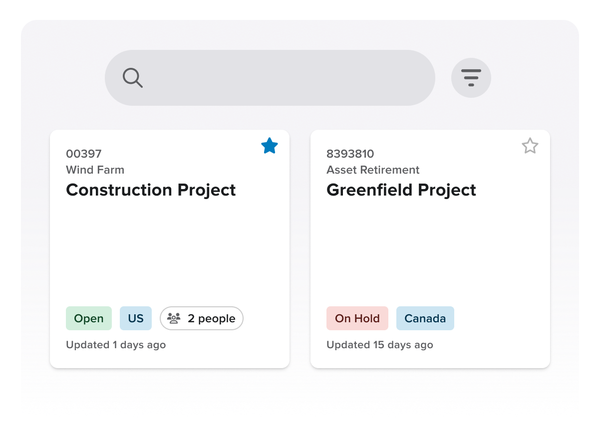
A centralized platform designed to coordinate and streamline land acquisition and ROW activities across departments, contractors, and project phases.
Maintains data continuity across the full project lifecycle — from site identification and title research to permitting, surveying, and beyond.
Tracks legal obligations and landowner-specific commitments to ensure ongoing compliance and improved stakeholder engagement.
Acts as a centralized, standardized data repository, enhancing collaboration and preserving institutional knowledge across project teams.
Supports controlled access for external contractors and provides services to import legacy agreements and historical land data.
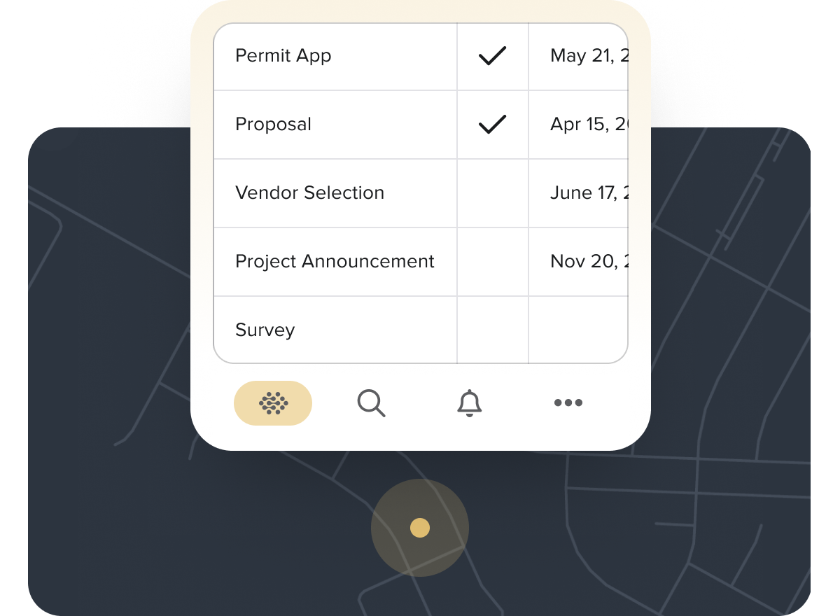
Proactively manage lease and agreement lifecycles with automated workflows, real-time alerts, and a fully integrated system that ensures compliance and eliminates manual tracking.
Configurable alerts for key milestones, such as expirations, renewals, payments due, and option deadlines, keep teams ahead of critical dates.
Simplify landowner splits and ownership changes with built-in tools that reduce manual errors and legal risk.
Automate complex payment schedules and escalations while using forecasting tools to anticipate future cash flow needs.
Track non-financial obligations (e.g., insurance, performance reporting) to ensure complete compliance with all agreement terms.
Replace spreadsheets with a centralized, time-stamped record system that improves data accuracy, audit controls, and team collaboration.
Manage all details of your telecom project, from land rights to tower leases, with Irth Land.
Our detached platform lets your field workers access your company’s database anywhere, even in remote locations without Internet connections.
Automated compliance reports ensure you save time and never miss a deadline.
Track subleases and lease details, payments, inspections, maintenance, and more in our comprehensive platform.
Irth Land provides a consolidated view of parcels, energy data, and ticket information.
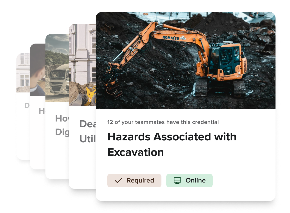
Deliver targeted, on-demand employee training and education to drive safety, promote continuing education, and meet organizational learning objectives.